interactive Maps of Historic sites
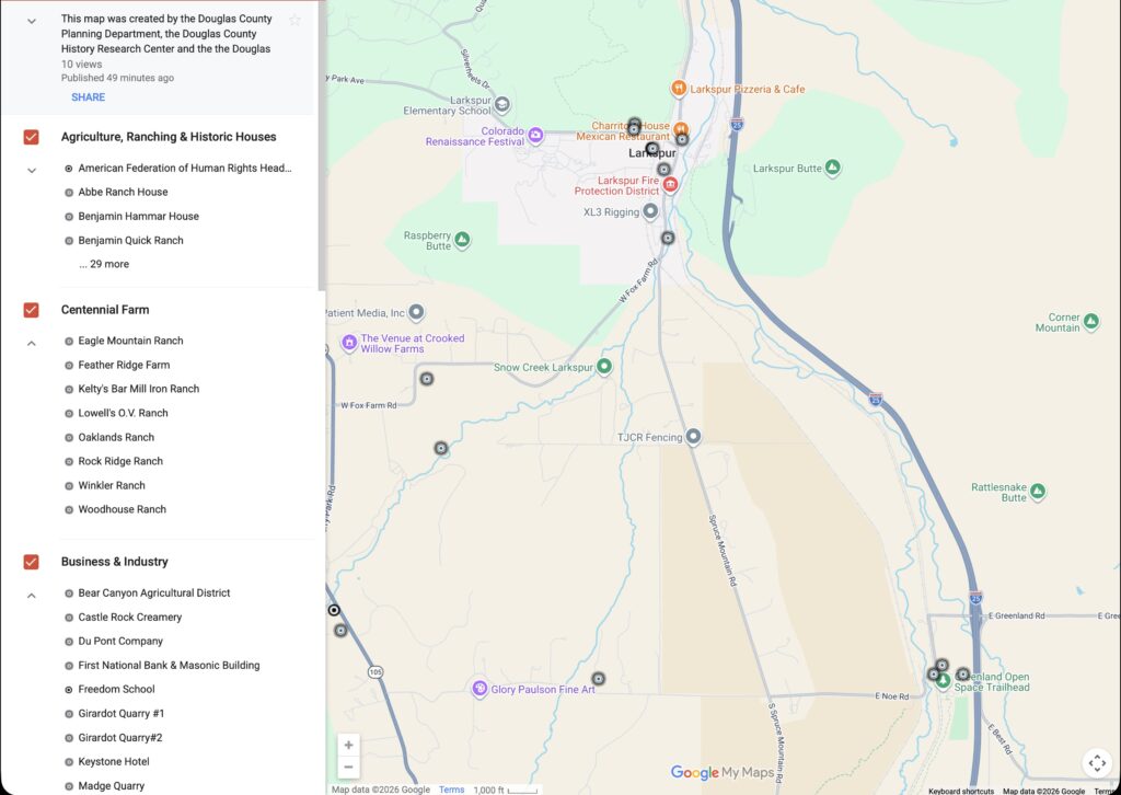
The Douglas County Historic Resources Map was created by the Douglas County Planning Department, the Douglas County History Research Center and the the Douglas County Historic Preservation Board in 2012. The content has been made available via Google Maps and Google Earth and are being integrated into the LHS Search Agent.
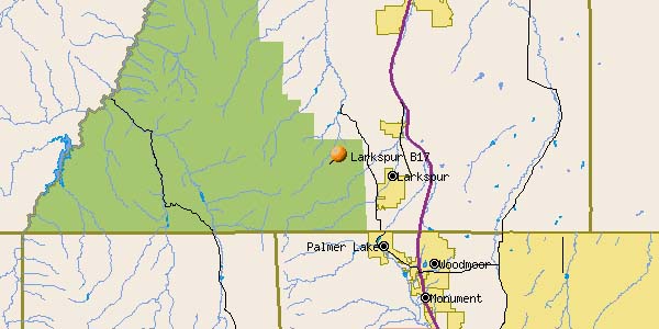
Then as now, most of the area is private property!
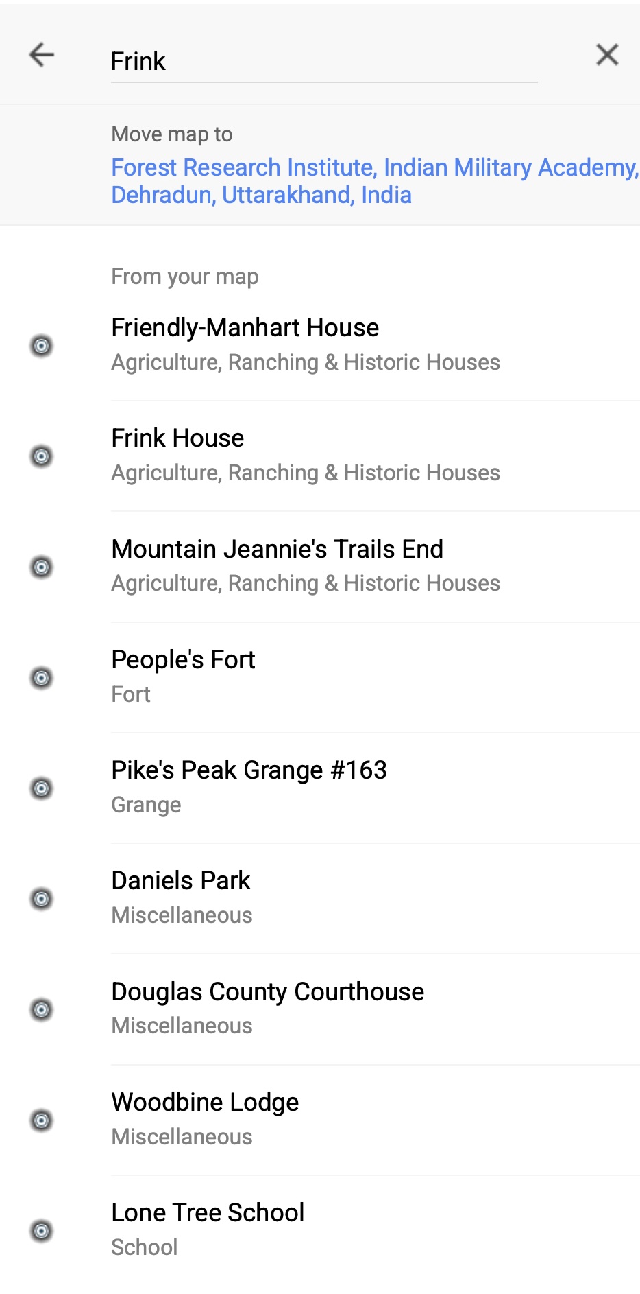
1- Google Maps
User friendly search, more legible. For best results on iPhone, do NOT open in Google Maps.

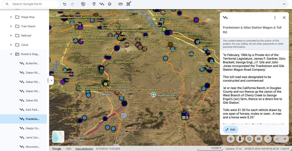
2- Google Earth
Includes historic stage routes, railroads, and canals, as well as waypoints.
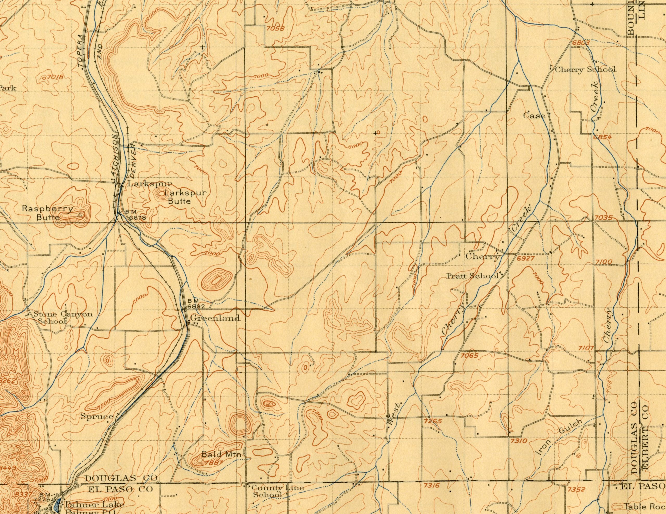
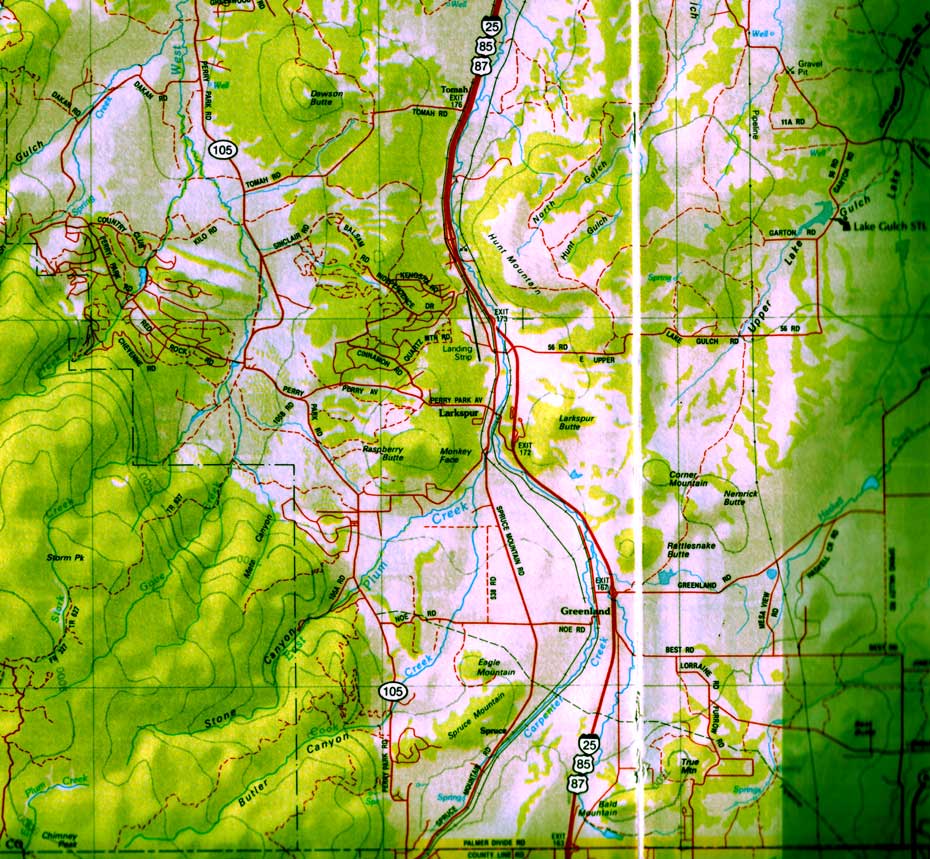
Map Gallery
Some of the historic maps on this site.


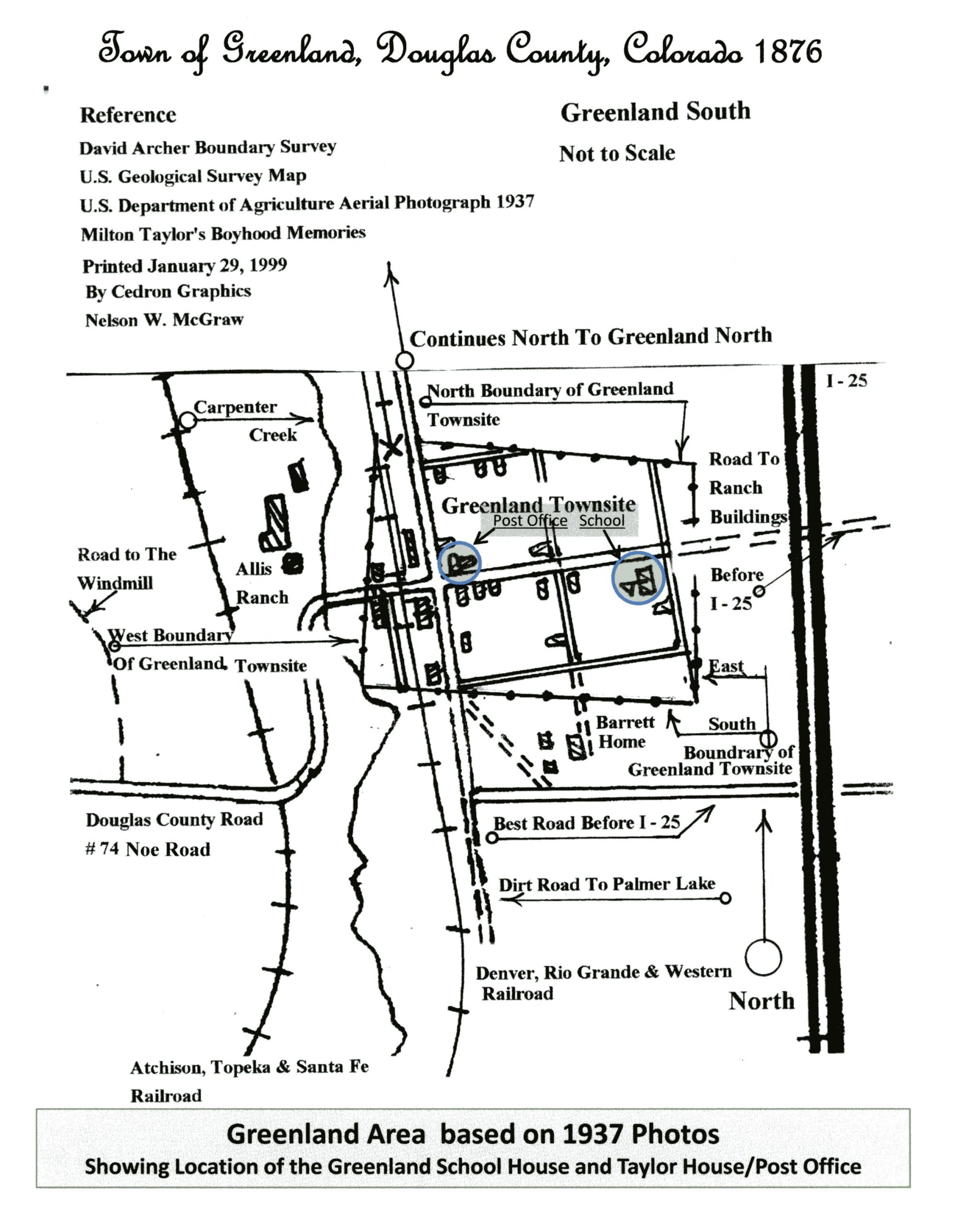
The Existing Greenland School and a Post Office Building have been High-lighted.